The MAPA: Digital Atlas of Ukraine program, undertaken by the Ukrainian Research Institute at Harvard University and its partners, brings the latest innovations of information technology to studies of modern Ukrainian history and contemporary political geography. We conduct our own studies and encourage scholars and students within Harvard community and beyond to use Geographic Information Systems (GIS) for illustrating and explaining economic, historical, political, and social transformations within Ukraine using spatial and temporal analysis.
MAPA: Digital Atlas of Ukraine
Donbas and Crimea
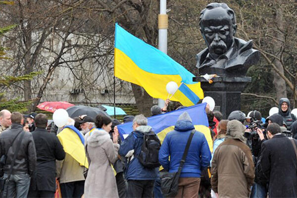
The Russian annexation of Crimea and armed conflict over Donbas have brought these regions into the limelight.
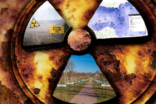
Chernobyl/Chornobyl
The Chernobyl/Chornobyl project advances our understanding of the catastrophe’s lasting consequences.
Religious Revolution
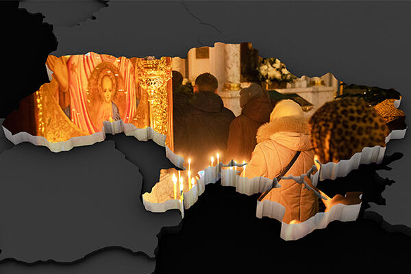
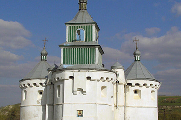
Ukraine experienced a period of active secularization and aggressive atheistic propaganda under the Soviet regime, and then an intensive religious Renaissance since its independence in 1991.
History and Identity
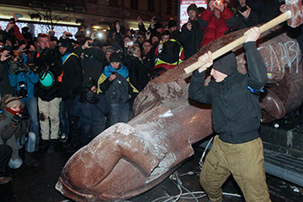
Since the early 1990s, the concept of a split between East and West has prevailed in the political and public discourse of Ukraine.
Language
The language issue in Ukraine has long historical roots, and even after Ukraine’s independence it remained in the center of the nation- and state-building processes.
The Great Famine
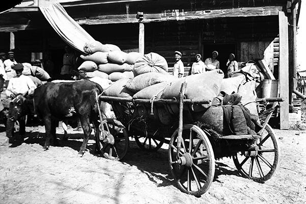
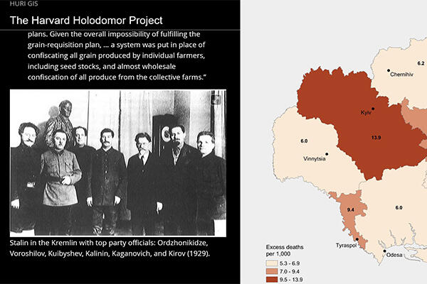
This project focuses on the Ukrainian Famine of 1932-33, also known as the Holodomor, and widely considered in Ukraine and beyond to be a genocide.
Rus' Genealogy
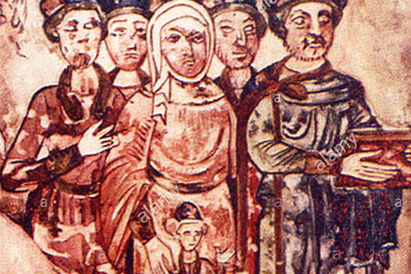
The Rus’ Genealogy module is part of a larger attempt to shift the perceptions of modern scholars to include Rus’ in the wider narrative of medieval Europe.
Transfer of Parishes
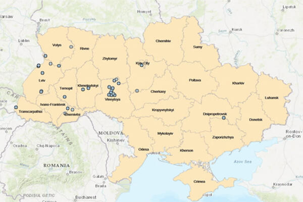
This map examines the transfer of Ukrainian Orthodox parishes under the jurisdiction of the Moscow Patriarchate to the newly created Orthodox Church of Ukraine (OCU)
Historic Podillya
This project presents the place names (settlements, castles, hydronyms) identified up to date in the territory of historical Podillya in the Late Middle Age.

